Cold, clear tailwater of the Lower Mountain Fork River below Broken Bow Dam

Broken Bow · The River

Mountain Fork River: the honest, locally-written guide.

The Mountain Fork is why Broken Bow has a year-round trout river at all. Cold water pulled from 180 feet under the lake, released through the dam, and pushed south through twelve miles of pine canyon — every day of the year, in every season. Nowhere else in Oklahoma looks or fishes like this.

We live and host here. This guide is the same brief we give our own arriving anglers: what the river actually is, which zone to fish, when the dam is running, where to float, and where to stay so you are ten minutes from Zone I water without needing to pack up camp in the dark.

Quick facts

Type
Spring-fed tailwater below Broken Bow Dam
Temperature
45–55°F year-round below the dam
Species
Stocked rainbow trout, wild brown trout
Licenses
Oklahoma fishing + trout license required
Access
Free public access inside Beavers Bend State Park
Drive from DFW
Approx. 3 hours 10 minutes, paved the whole way

What the Mountain Fork actually is

The Mountain Fork drains the Ouachita Mountains of southeast Oklahoma and southwest Arkansas. Above the lake it is a scenic warm-water float stream. Below the Broken Bow Dam it becomes something rarer: a bottom-release tailwater cold enough to hold trout through an Oklahoma July. That single fact — a 45–55°F river running through pine canyon 3 hours from Dallas — is why the Mountain Fork punches so far above its weight nationally.

The zones, ranked by use case

Locals talk about the river in numbered management zones set by the Oklahoma Department of Wildlife. Knowing which zone you are on tells you what gear you can use, how technical the fishing is, and how crowded a Saturday morning will be.

  • Zone I — Re-Regulation Reservoir (Fly & Artificial)

    The tailwater immediately below the dam. Fly and single-hook artificial only, catch-and-release on browns. The most technical, most beautiful, and most reliable trout water in Oklahoma.

  • Zone II — Presbyterian Falls to Highway 259A

    Bait and lures allowed. Easier wading and the best water for kids learning to fish for stocked rainbows. Family-friendly access with parking pull-offs the whole length.

  • Zone III — Below Highway 259A

    Warmer, slower, and where the river starts to feel like a float stream. Great for kayak and tube days when the water is running low and slow in summer.

  • River Bend Float Trips

    Livery-run kayak, canoe, and tube floats above the state park. Two- to four-hour scenic floats through pine canyon — the easiest lazy-river day near Broken Bow Lake.

  • Beavers Bend Fly Shop Access

    The local hub for guides, licenses, trout stamps, flies, and wading gear. Walk-and-wade guided trips run year-round; a first-time float here is worth every dollar.

Guides, licenses, and getting started

First-timers should start at Beavers Bend Fly Shop. Buy your Oklahoma fishing license and trout stamp on the Wildlife Department app before you drive up — it takes three minutes and saves counter time. If you have never fly fished a tailwater before, book a half-day walk-and-wade guide for your first morning. It compresses a season of trial and error into three hours of actual fish.

Bring wading boots with felt or rubber soles — the river bottom is slick basalt. In summer, shorts and quick-dry shirts are fine. October through April, waders are non-negotiable; the water is cold enough to end a day fast.

The dam release, and why it matters

The single biggest variable on the Mountain Fork is the daily dam-release schedule. The Southwestern Power Administration generates hydroelectric power on demand, which means flows can shift by hundreds of cubic feet per second within an hour. When generation is running, Zone I becomes a wading hazard. When it stops, the river drops fast and the fishing turns on.

Check the day's schedule at the fly shop or on the SPA generation site the morning of your trip. Any local guide will already know it. The rule of thumb: fish low, tight-lined nymph rigs when flows come off; streamers and larger stones when they come on.

Floating the Mountain Fork

For anyone not fishing, the scenic float sections above the lake and below Highway 259A are the summer headline. Local liveries put in kayaks, canoes, and tubes for two- to four-hour floats through pine-canyon shoreline. Bring water shoes, sunscreen, and a dry bag. Zone I is not a float — the water is too cold and too shallow, and every foot of it belongs to a wading angler.

Season by season on the river

Spring (March through May). Peak stocking, cool air, greening banks. Best all-around fishing window of the year. Book cabins early — this is shoulder season on cabins and prime on the river.

Summer (June through August). Cold tailwater fishes well early and late; midday slows. Float sections come alive. Guides book two to three weeks out. Fish sunrise, float mid-day, hot tub after dark.

Fall (September through November). Brown-trout spawn in October — respect posted redds. Foliage peaks the last week of October and first week of November. The most photogenic fishing window of the year, easily.

Winter (December through February). Quiet, cold, and the best solitude fishing of the year. Big browns eat streamers hardest in the cold months. Lowest weeknight cabin rates of the year — a bargain for anyone willing to layer up.

Where to stay near the Mountain Fork

Nearly every private cabin near the river is in Hochatown, immediately north of Beavers Bend State Park. Cabins are the standard — full kitchens for pre-dawn coffee, hot tubs for post-wading legs, and fire pits for drying out gear. State-park lodges book far in advance and don't scale for groups of anglers.

Both of our cabins sit 8–15 minutes from Zone I on paved roads. Sound of Sunshine sleeps 18 across six bedrooms with a hot tub, fire pit, arcade, and game room — the reunion and buddy-trip cabin. As Good As It Gets sleeps 20 across five bedrooms with a private heated pool, outdoor kitchen, and creek frontage — the celebration cabin. Both directly bookable on this site; no Airbnb or Vrbo service fees on direct.

A sample river day

Coffee before sunrise. Waders and boots in the truck. Park at the Zone I lot by 6:45am, on the water by 7. Fish until the generation horn or lunch. Back to the cabin for a hot shower and a real meal. Afternoon nap or float trip with the non-anglers, then back on the river at last light. Dinner in Hochatown. Hot tub. Repeat.

Frequently asked

Mountain Fork River — planning questions, answered.

What is the Mountain Fork River?
The Mountain Fork is a spring-fed river that drains the Ouachita Mountains of southeast Oklahoma and southwest Arkansas. Above Broken Bow Lake it is a warm, scenic float stream. Below the dam — the Lower Mountain Fork — it becomes a cold-water tailwater fishery, kept at 45–55°F year-round by bottom-release outflow from Broken Bow Lake. That tailwater is why Oklahoma has a year-round trout river at all.
Where is the Lower Mountain Fork River?
The Lower Mountain Fork starts at Broken Bow Dam inside Beavers Bend State Park, roughly ten minutes north of the town of Broken Bow on US-259. From there it winds south through the park for about twelve miles of publicly accessible water before entering private land. It is about 3 hours 10 minutes from Dallas-Fort Worth on paved roads.
Can you fish the Mountain Fork River year-round?
Yes. The Lower Mountain Fork below the dam is stocked with rainbow trout October through April and holds a healthy population of wild and holdover brown trout year-round. You need an Oklahoma fishing license and an Oklahoma trout license. Zone I is fly and single-hook artificial only. Zones II and III allow bait.
Do you need a guide to fish the Mountain Fork?
No, but a half-day guided trip pays for itself on your first visit. Beavers Bend Fly Shop and a handful of independent guides run walk-and-wade trips out of Zone I. Guides know the current release schedule, which is the single biggest variable on this river — flows can shift dramatically from morning to afternoon.
Can you float or kayak the Mountain Fork?
Yes. The stretch above Broken Bow Lake and below Highway 259A are the classic float sections. Local liveries put in kayaks, canoes, and tubes for two- to four-hour scenic floats through pine-canyon shoreline. Zone I is not typically floated — the tailwater is cold and shallow enough that it's the domain of wading anglers, not tubers.
How cold is the Mountain Fork River?
Below the dam the tailwater sits between 45°F and 55°F year-round because the release comes from the bottom of Broken Bow Lake. That's why the trout stay healthy through Oklahoma summers. Above the lake and downstream of Zone III, the river warms with the season and is comfortable for wading and floating from May through September.
Is the Mountain Fork River safe for kids?
The wadable stretches in Zone II are shallow, clear, and popular with families teaching kids to fish. Rocks are slick — grippy shoes matter. During generation releases from the dam, water can rise quickly, so check the current release schedule and stay out of the lower sections when generation is running.
When does the dam release water on the Mountain Fork?
The Southwestern Power Administration releases water from Broken Bow Dam for hydroelectric generation on a variable schedule. Flows can shift by hundreds of cubic feet per second within an hour. Anglers and floaters should check the daily generation schedule before heading out — the Beavers Bend Fly Shop posts it and any guide will know it cold.
Where should we stay near the Mountain Fork River?
Almost every private cabin near the river is in Hochatown, immediately north of Beavers Bend State Park. Both of our cabins sit 8–15 minutes from the Zone I trout water on paved roads. Sound of Sunshine sleeps 18 with a hot tub and game room — the group and reunion cabin. As Good As It Gets sleeps 20 with a private heated pool and creek frontage — the celebration cabin. Both are directly bookable on this site with no Airbnb or Vrbo service fees.
What is the difference between the Mountain Fork River and Broken Bow Lake?
The Mountain Fork River flows into Broken Bow Lake at its north end and out of it below the dam at the south end. The lake is the 14,000-acre reservoir where the pontoons, swim coves, and jet skis are. The river below the dam is the cold, clear trout fishery that most anglers come specifically for. They are the same water in different form.
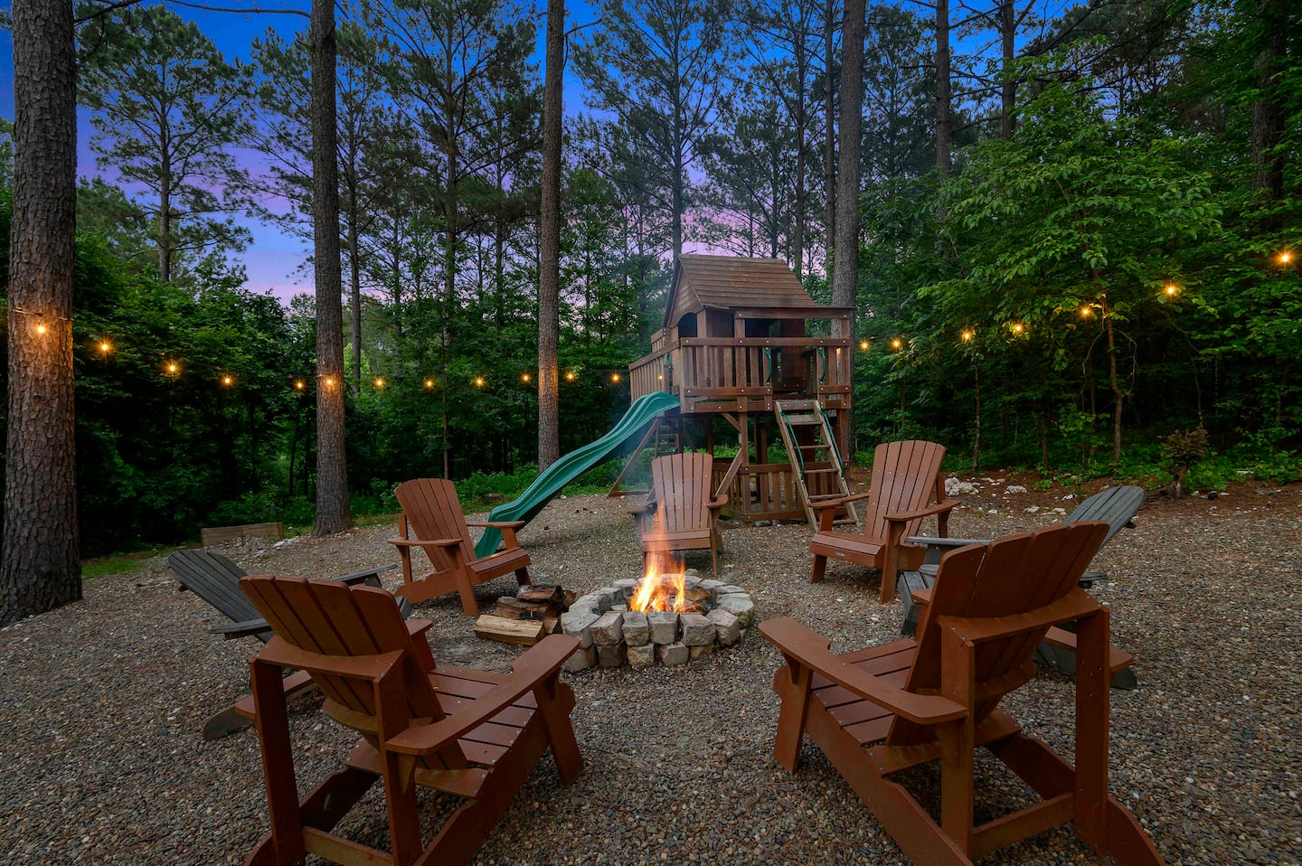
Stay ten minutes from Zone I water.

Two luxury cabins in Hochatown, minutes from the Mountain Fork. Book direct for the lowest published rate — no service fees, no middlemen.